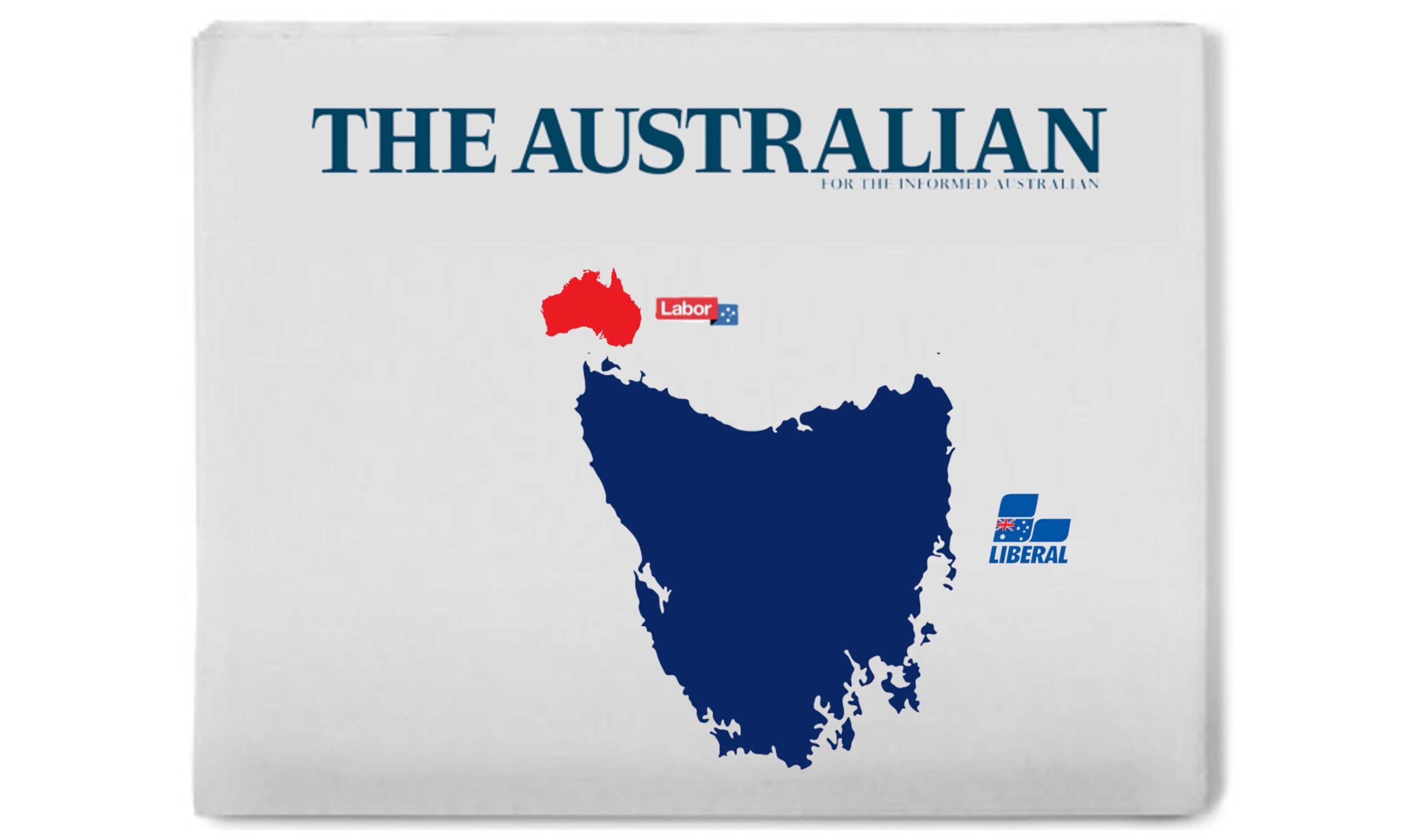
Following Saturday’s NSW election, News Corp broadsheet The Australian has updated its political map of the country, noting that mainland Australia is now entirely Coalition-led.
“Only the small island above Tasmania now has a Labor government, meaning its wall-to-wall blue everywhere else,” the paper’s editorial read.
It said the map represented a shift in voter sentiment and a sign of problems to come for the Labor Prime Minister. “The alarm bells really should be ringing for Anthony Albanese now that every state and territory except Western Australia, South Australia, Victoria, New South Wales, Queensland, ACT and the Northern Territory is run by the Coalition”.
Columnist Chris Kenney said the NSW election showed that voters had shifted away from Labor. “You won’t see a more decisive map than this – by far the largest part is blue when you increase the size of Tasmania twelve-fold. This is a very clear signal that Australians want more right-wing governments. I wouldn’t want to be Labor right now”.